From the air.
Notes from my flights. Practical aerial insight for property owners, developers, and marketers around the Greater Charlotte Area.

Set It and Forget It: Why Charlotte Builders Are Moving to Recurring Drone Documentation
Aerial documentation turns weekly site progress into a clear visual record your team can rely on. Consistent drone flights keep everyone aligned, reduce uncertainty, and make project updates easier to communicate across the Charlotte metro area.
Read article →What Licensed and Insured Actually Means When You Hire a Drone Pilot
Anyone can buy a drone. Here's what an FAA Part 107 license and real insurance actually cover, and why it matters more than most people realize before something goes wrong.
Read article →What You Actually Get From a Drone Mapping Flight
Grid-flown drone mapping produces more than a nice aerial photo. Here's what the data actually looks like, and who around Charlotte tends to need it.
Read article →What Drone Video Actually Does for a Local Brand
Aerial footage isn't a gimmick bolted onto a marketing video. Here's where it earns its place, and where it doesn't, for Charlotte-area businesses.
Read article →What Actually Sells a Listing From the Air
A single hero shot from the ground can only tell half the story. Here's what aerial photos and video add to a listing that ground photos can't, and why it shows up in showings.
Read article →
Why Aerial Documentation Beats a Ladder and a Phone
Ground-level phone photos miss the context that big decisions depend on. Here's what my drone captures from 200 feet that a ladder shot never will.
Read article →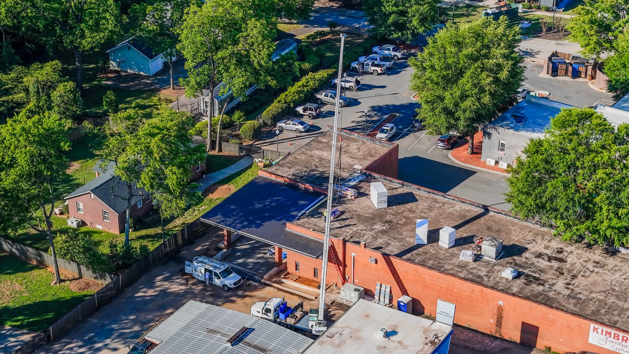
Tracking Construction Progress From Above
I fly the same Charlotte construction sites month after month. Here's why recurring drone progress photos settle arguments that email threads never will.
Read article →Lately, from above
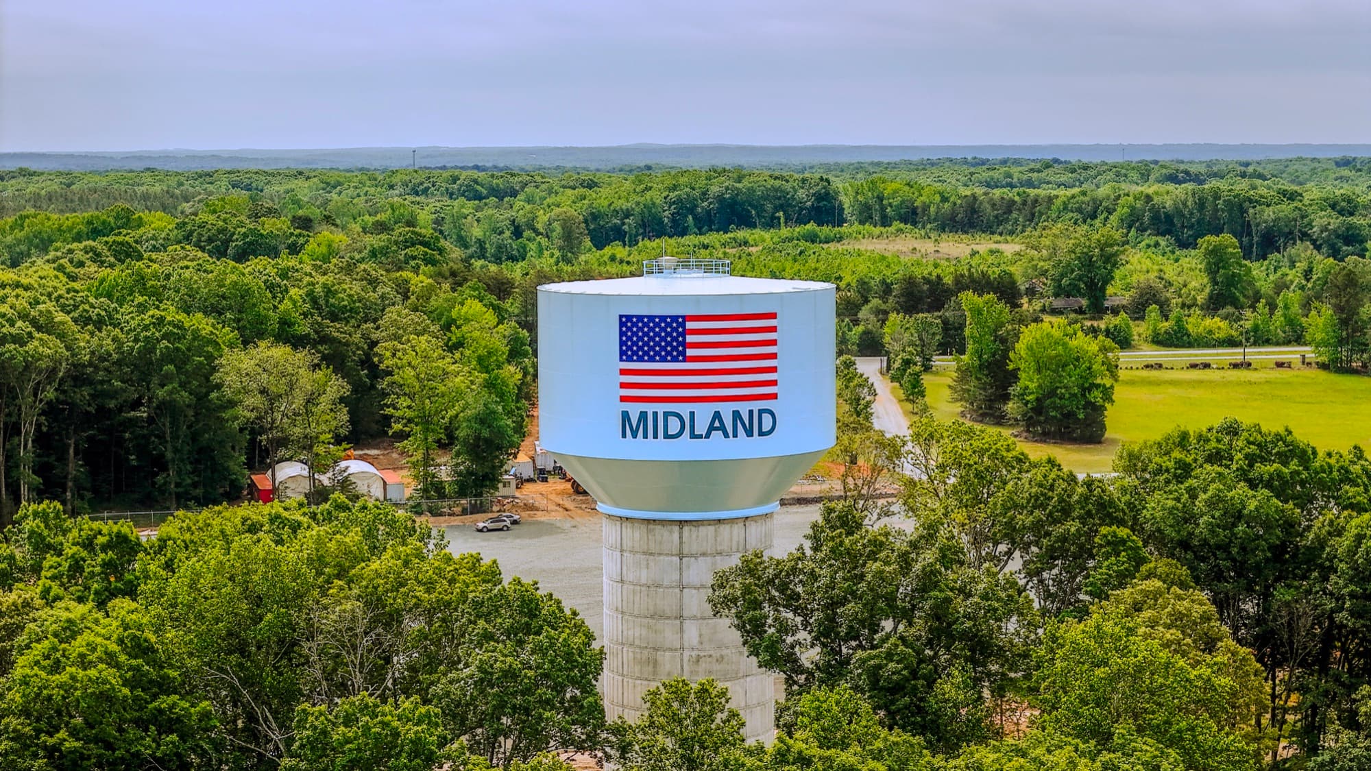
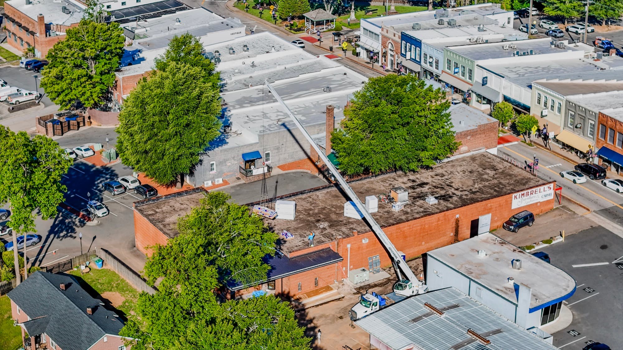
Recent frames from my drone flights around the Greater Charlotte Area.

Have a project in the Charlotte area?
Get a free quote →